LiDAR system and aerial camera stabilized by GSM 4000

-- archive.php --
3D cartography of complete French territory

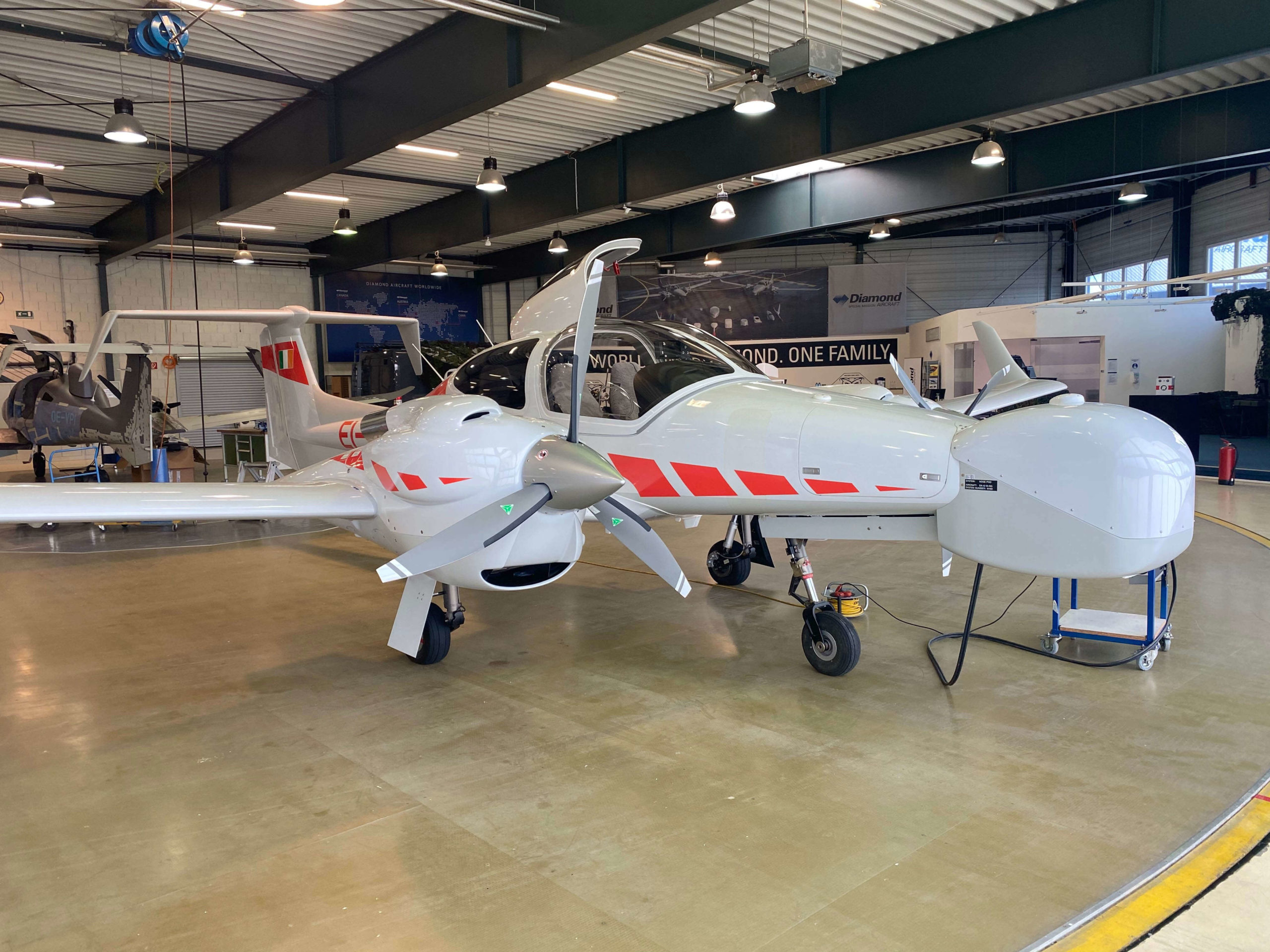
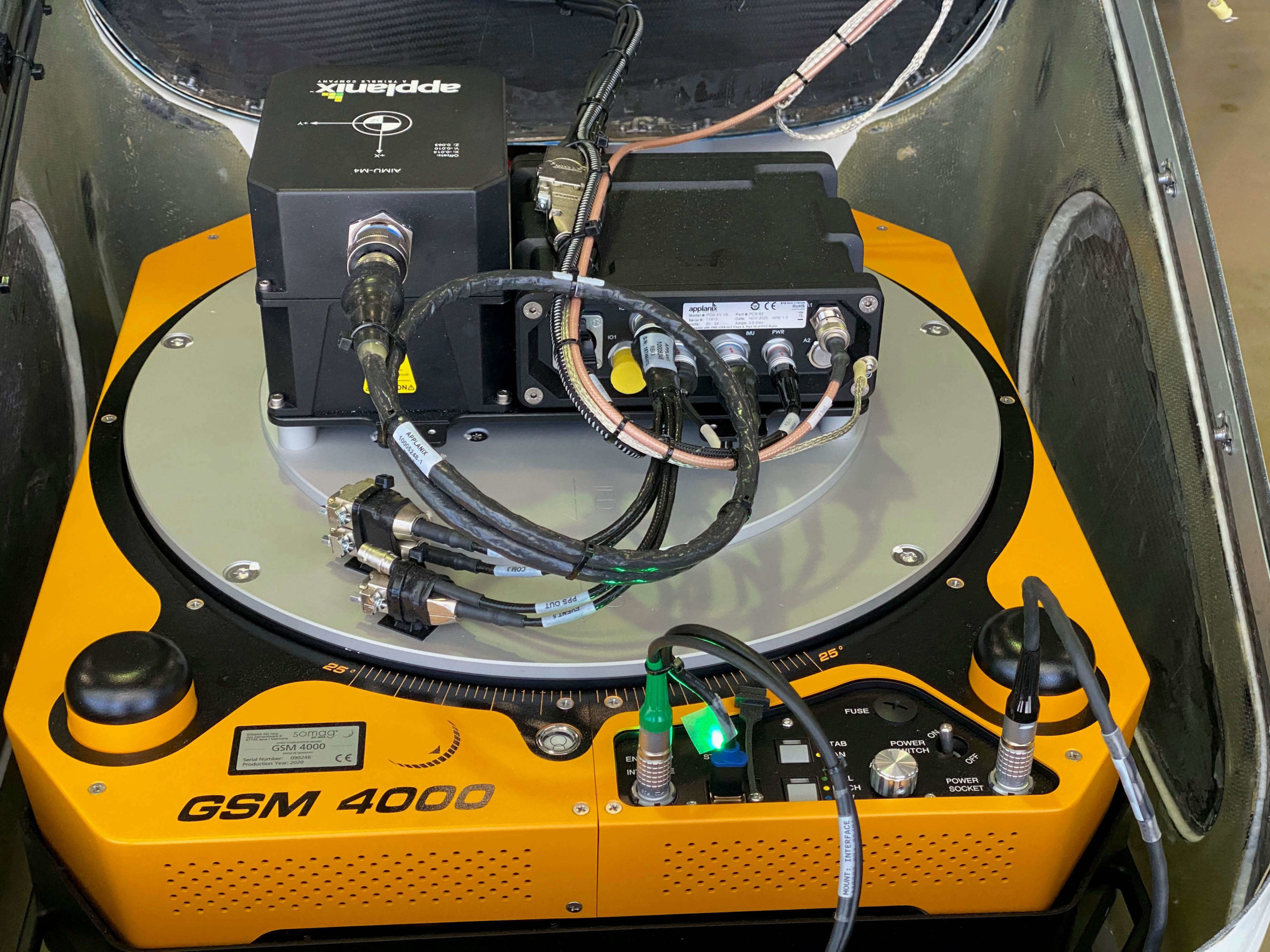
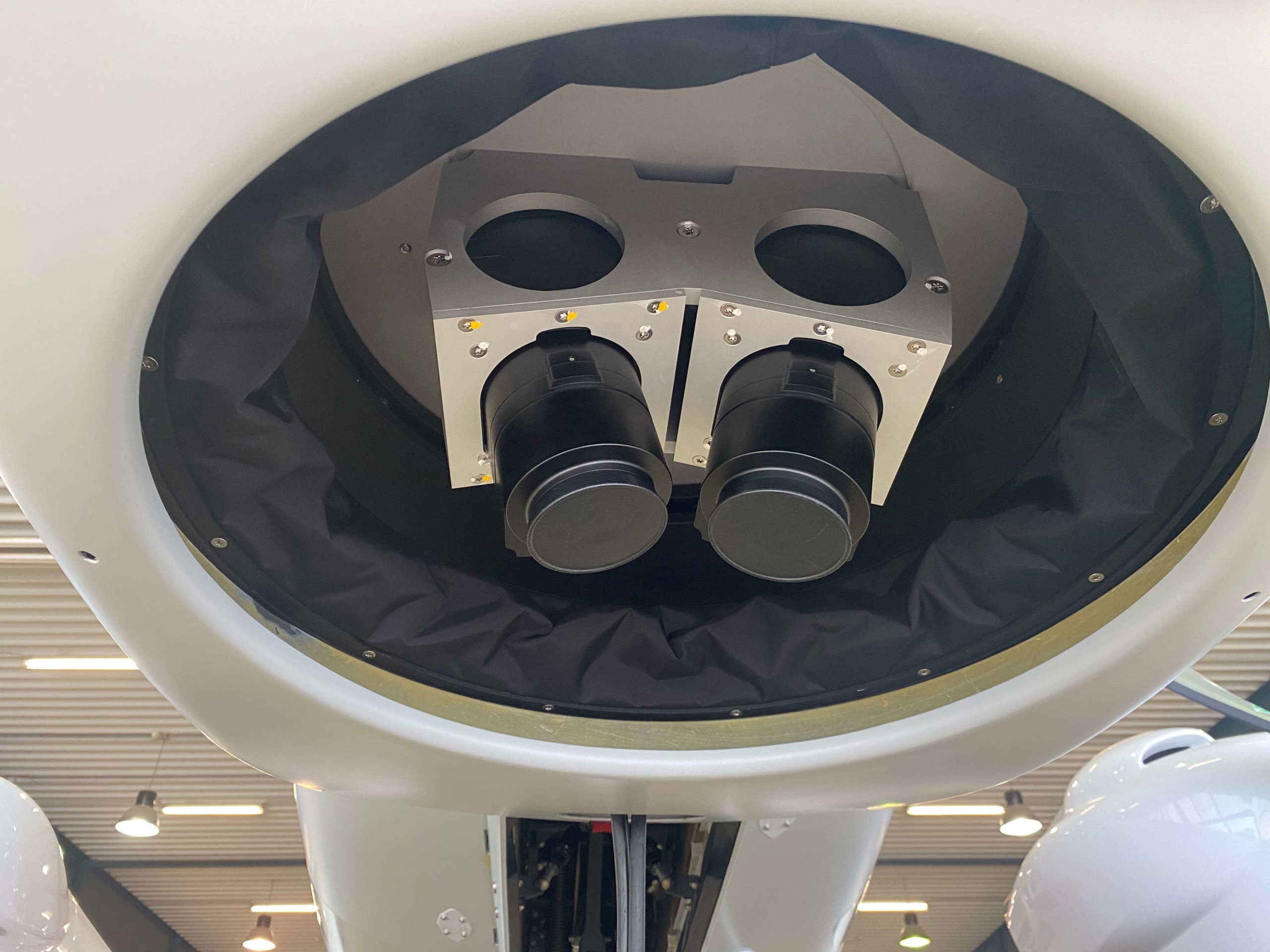
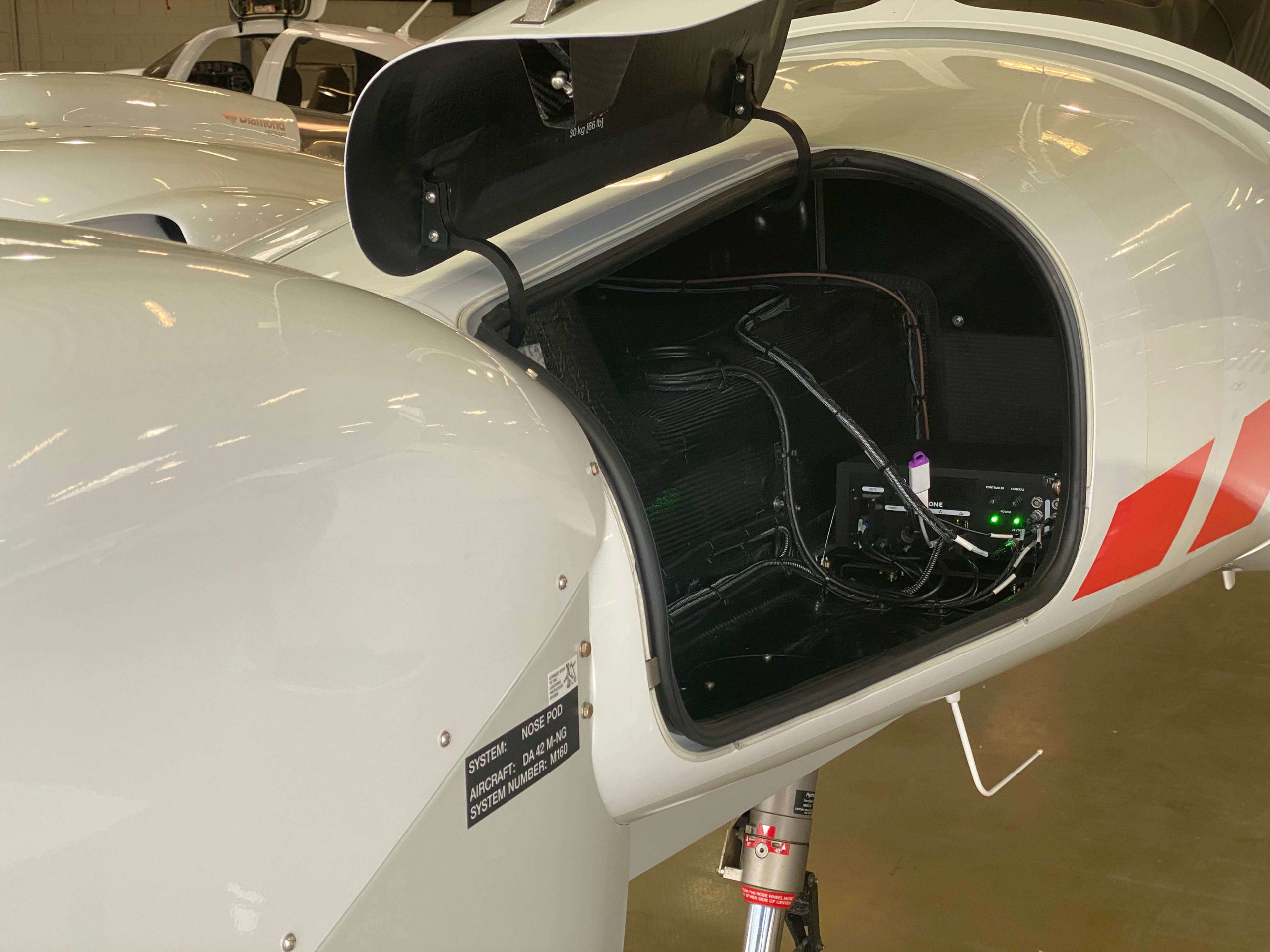
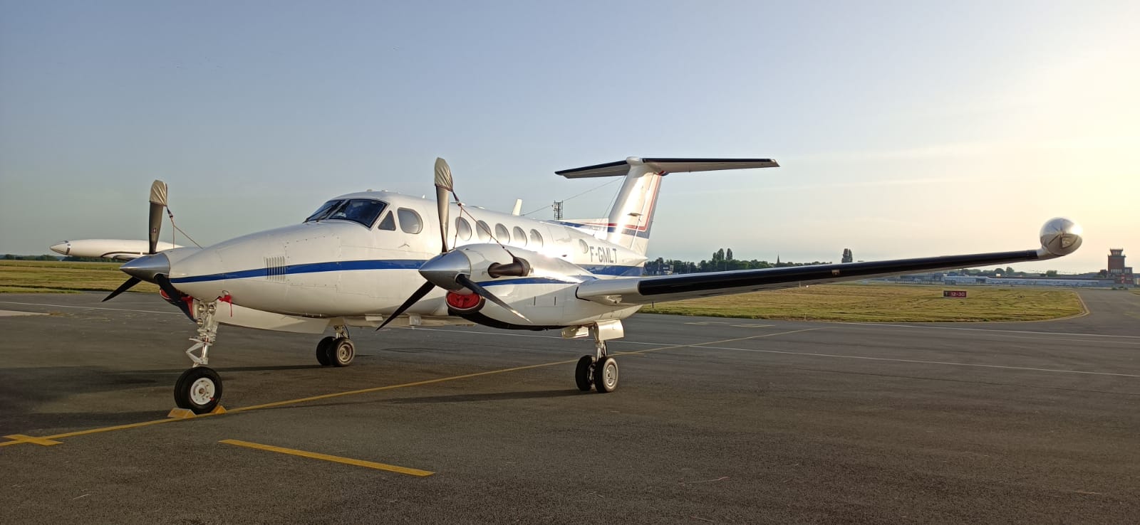
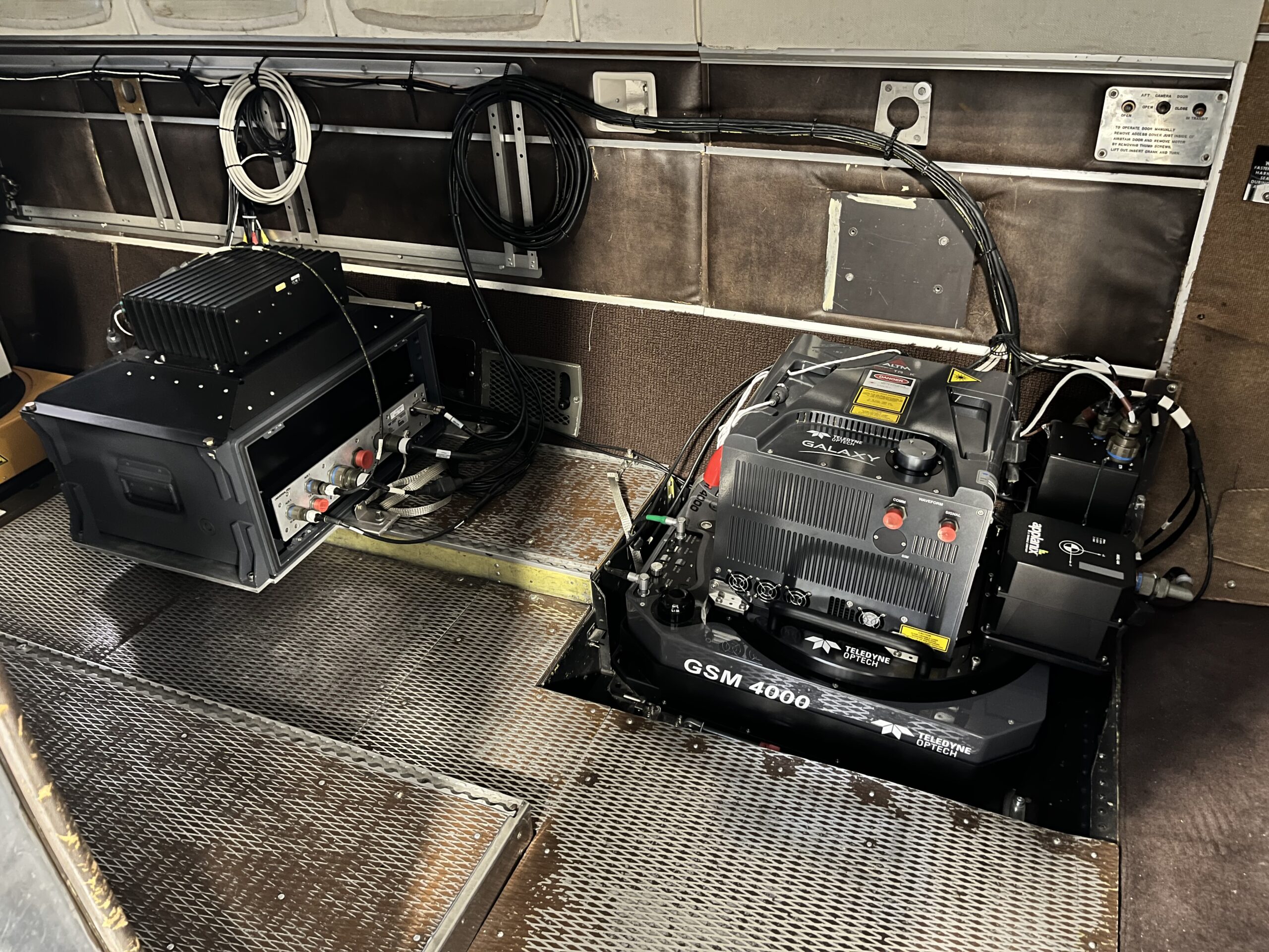
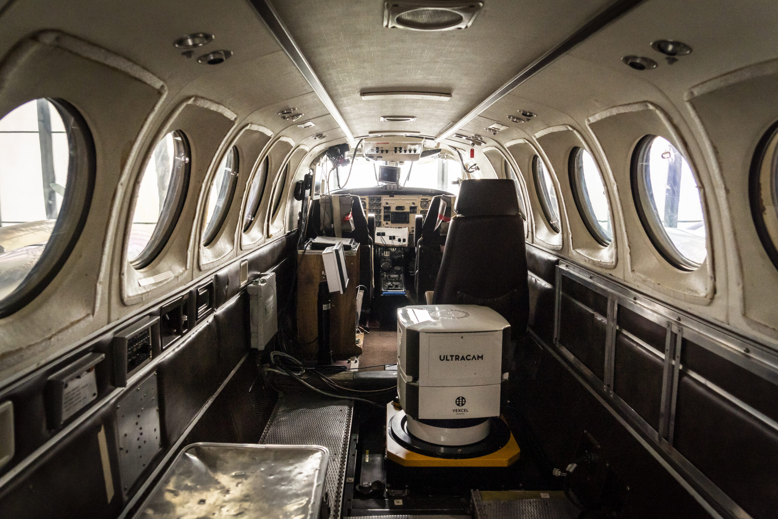
GSM 4000 contributes to LiDAR HD program

The LiDAR HD program, initiated by IGN, aims to revolutionize national territory mapping through innovative approaches. Tasks encompass acquiring airborne LiDAR data, processing to meet specifications, and automatic classification using a Deep Learning model. These efforts, in conjunction with ground control point measurements, aim to produce comprehensive 3D maps of France by 2025. IGN, a public institution under ecological and forestry ministries, spearheads this project. As part of the France Relance plan, IGN’s LiDAR HD program endeavors to create a comprehensive three-dimensional map of France, excluding French Guiana, by 2025. This « Référentiel à Grande Echelle » (RGE) facilitates data sharing, access, and utilization, addressing various public stakeholders’ needs.

GSM 4000

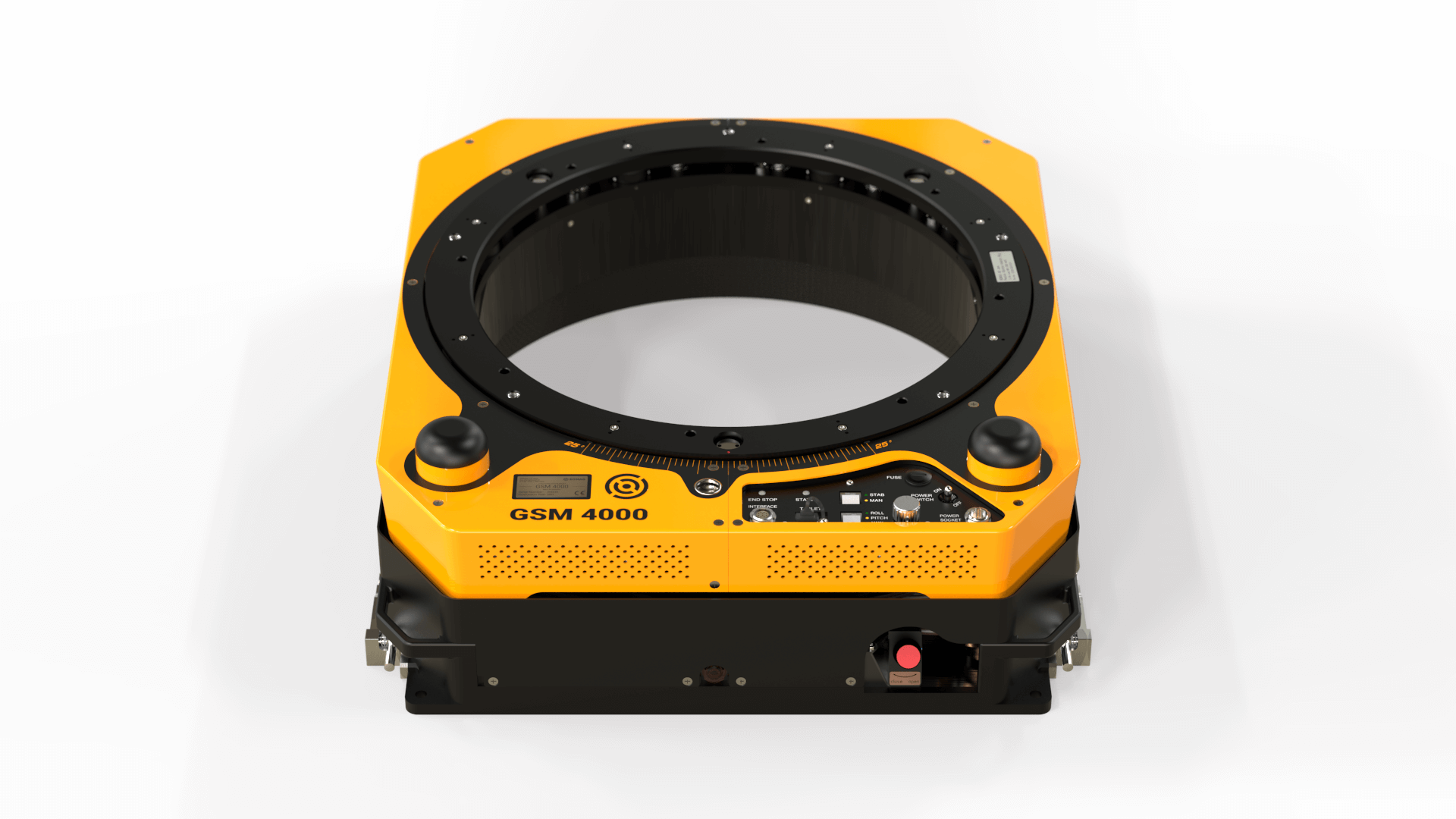
Advantages for Lidar and Imagery Products

  • Crystal clear aerial imagery

    through precise sensor stabilization during flights
  • Saving of time and money

    time spent on aerial triangulation can be reduced by 20%
  • Flexibility and compatibility

    GSM 4000 is adaptable to any sensor and camera system

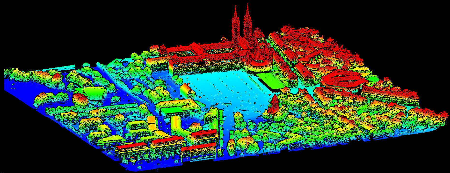
Central to IGN’s program is LiDAR technology, which emits high-frequency laser pulses to precisely determine geographical points’ positions. The project is structured into four phases: data acquisition, processing, hosting and distribution, and user support. Ground control points validate aerial data, ensuring mapping accuracy.

Data classification transforms raw point clouds into meaningful information, aiding in disaster prevention, sustainable forest management, energy transition, urban planning, and biodiversity conservation. GEOFIT and SINTEGRA contribute significantly to data collection and processing.

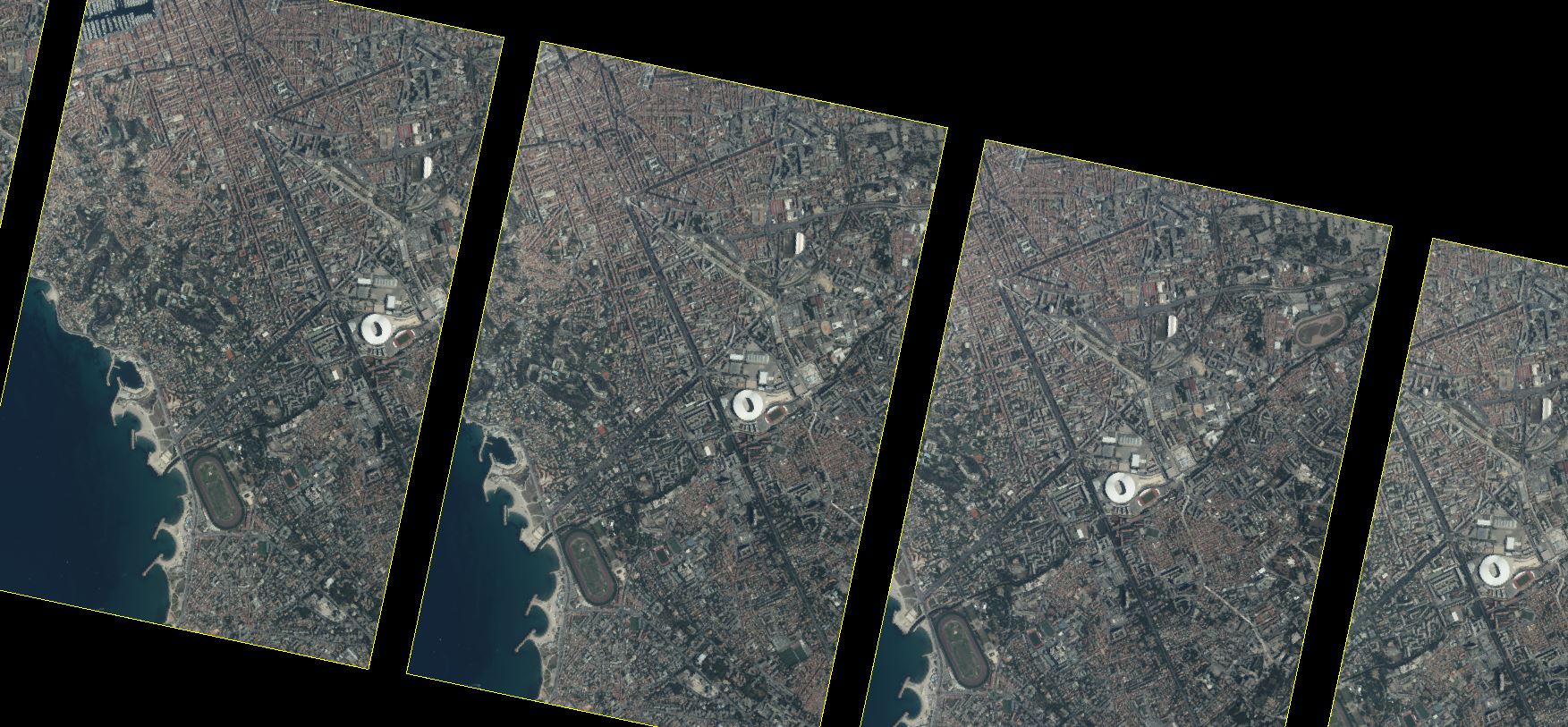
The project’s culmination involves 7,000 planned flight hours over five years, extending beyond conventional 3D cartography. It signifies a future of informed land management, where detailed environmental understanding and access to accurate data play pivotal roles in decision-making.

About IGN

The National Institute of Geographical and Forestry Information (IGN) is a public administrative organisation under the authority of the Ministries of Ecology and Forestry. As a public reference operator, IGN provides geographical and forestry information in France. The mission of the Institute is to produce, visualise, qualify and disseminate the geographic and forestry data that are essential for the implementation of public policies. To this end, IGN develops partnerships in order to focus energies that guarantee rich, comprehensive and up-to-date information.The Institute is a recognised scientific and technical Center thanks to its advanced expertise.

About SOMAG

SOMAG AG Jena is a global specialist for high-precision gimbal systems. The company focuses since 2004 on the development and manufacture of Gyro Stabilization Mounts for data acquisition and surveillance applications in the air, on land and at sea. The airborne product portfolio comprises three different Gyro Stabilization Mounts for large format, multiple medium format and single medium format sensors. All aerial camera stabilizers are designed for operation inside airplanes, helicopters or UAVs.

Newsletter

Subscribe today!

Keep yourself informed about SOMAG and the latest Gyro Mount technology.
We will send you regular information about:

  • exhibitions and event invitations
  • new products, services and videos
  • latest application examples, projects and partnerships

Subscribe here

Subscribe to the SOMAG newsletter
SOMAG AG Jena to deliver Gyro Mount to Green Rebel Group

Aerial ecology survey with GSM 4000

Green Rebel Group recently purchased a Gyro Stabilization Mount GSM 4000, the flagship of the SOMAG airborne Gyro Mount line. The Mount was installed in the nose pod of a Diamond DA42 MPP aircraft, which was officially delivered in May 2021. Green Rebel, specializing in data acquisition and analytics to support offshore renewable energy development, acquired the aircraft to conduct aerial ecology surveys off the coast of Ireland. These data will be used to support consent applications for offshore renewable energy developments. As part of this work, large sections of the ocean will be surveyed on a regular basis.

Sarah Kandrot, Head of Aerial Surveys with Green Rebel Group said: “The data are used to map the abundance of marine life to ensure that offshore wind farms are built in the most suitable locations to protect the ecology of the ocean.”

To capture the high-resolution RGB aerial images, the Irish company uses two aerial cameras which are stabilized by the GSM 4000. The Gyro Mount dynamically compensates for arbitrary aircraft movements during survey flights, ensuring razor-sharp images.

In order to have both cameras stabilized by the GSM 4000, a special adapter plate was designed, which features two pods that keep the cameras in an oblique view. and a Flight Management System. In parallel, an AIS receiver records which ships are moving in the vecinity of the aircraft. This is important because only off-shore data is recorded and the ship data can therefore be correlated with the airborne data.

“Thanks to the ultra-high-spec of our camera equipment and the GSM 4000, which ensures blur-free exposures, our aircraft will be flying at heights (1800 ft) that will not cause any disturbance to birds or marine megafauna while at the same time allowing us to collect the highest-quality digital imagery”, Sarah Kandrot added.

Thomas Risch, founder & lead of GALG International said: “We as Global Assistant & Logistic Group actively supported Green Rebel with the design of the equipment and the integration. As system integrator we always strive to keep the system as multi-purpose and scalable as possible. We have therefore chosen the GSM 4000, as it offers us the possibility to add further sensors (LiDAR, HySpex etc.), should this become necessary. In addition, we have many years of experience with the SOMAG devices and therefore know about their high quality.”

“In the run-up to the delivery of a fully equipped survey aircraft, the close interaction of a large number of players in the industry is necessary. We therefore always work closely behind the scenes with our long-term partners to ensure that the customer is satisfied with the final result. To ensure this, we provided fast and unbureaucratic support, whether it was answering (design) technical questions or providing a dummy device to ensure a smooth integration process”, Sören Lieske, Sales Manager of SOMAG AG Jena concluded.

Photos taken by Thomas Risch by courtesy of Green Rebel Group.

Newsletter

Subscribe today!

Keep yourself informed about SOMAG and the latest Gyro Mount technology.
We will send you regular information about:

  • exhibitions and event invitations
  • new products, services and videos
  • latest application examples, projects and partnerships

Subscribe here


Subscribe to the SOMAG newsletter